Super Typhoon Bavi and the El Niño Convergence: What the Tracking Systems Reveal
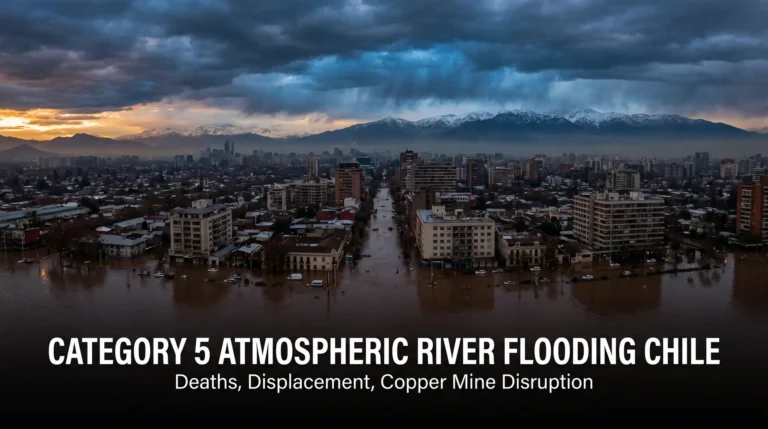
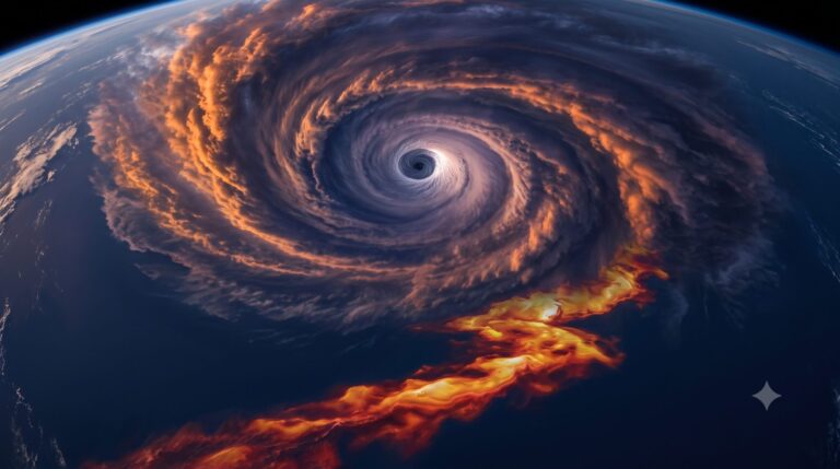
Super Typhoon Bavi and the El Niño Convergence gave the western Pacific one of its most violent weeks in years. Bavi struck the U.S. territory of Rota at Category 5 strength, then pushed on to strike Taiwan, Japan’s southern islands, and finally eastern China, where authorities moved nearly two million people out of its path in a matter of days.
I want to start with the storm itself, because the numbers are worth sitting with before we go anywhere else.
A gargantuan storm, measured plainly
The Joint Typhoon Warning Center described Bavi in a warning that has been quoted across the meteorological world: “Typhoon 09W (Bavi) remains a gargantuan typhoon, with a wind field size ranking in the top 3 percent of all Western Pacific typhoons of the past decade,” according to the [CIMSS Satellite Blog](https://cimss.ssec.wisc.edu/satellite-blog/archives/71120), which tracked the storm in unusual depth because, in its own words, “an extraordinary storm deserves an extraordinary analysis.”
That is not hype from a headline writer. That is the official forecasting agency measuring Bavi against ten years of Western Pacific storm data and reporting that this one sat near the very top of the pile in physical size.
The National Weather Service office in Tiyan, Guam matched that with blunt urgency ahead of landfall on Rota: “This is an extremely dangerous and life-threatening situation! Take cover now! Venturing outside can result in death from flying projectiles.”
Rota is a 33-square-mile island of about 2,000 residents. Bavi made a direct hit on the morning of July 6, 2026, with the JTWC assessing peak one-minute sustained winds near 180 miles per hour and a central pressure of 901 hectopascals, according to [Wikipedia’s tracking summary sourced to JTWC and JMA advisories](https://en.wikipedia.org/wiki/Typhoon_Bavi_(2026)). By some estimates, that made Bavi the most powerful tropical cyclone ever to strike U.S. territory.
Rota’s mayor, Aubry Hocog, told Stars and Stripes that “every aspect” of the island had been damaged or destroyed: government buildings, homes, the airport, the seaport. No deaths were reported on Rota. Two people were injured. Power and running water were gone. The island had to tap a reservoir just to have drinking water.
That is not a statistic. That is a small American community that spent a week without electricity because a storm the size of a small country parked itself directly overhead.
From 80 mph to a monster in under a day
Here’s the piece that should not be glossed over: Bavi did not creep up on anyone gradually. The Weather Channel reported that forecasters were watching a fairly ordinary tropical storm that intensified explosively over open Pacific water already running unusually warm.
Rapid intensification is the technical term, and it is one of the more sobering problems in modern forecasting. A storm can look manageable at breakfast and be catastrophic by dinner. Warm ocean water is fuel, and the Pacific has had plenty of it this year.
NOAA’s Climate Prediction Center confirmed on July 9 that El Niño is not just present but strengthening, reporting a Niño-3.4 index reading of +1.2°C, with a 97 percent chance the pattern persists through early spring 2027. That is a real, measured ocean condition, not a vague seasonal impression. El Niño years are historically associated with fewer total Western Pacific typhoons but a higher share of the strongest ones, because storms have more room to form farther east and more time over deep, warm water before reaching land.
I’ll say the honest thing here: strong El Niño years have produced dangerous typhoon clusters before, decades before anyone was talking about a digital control system or a beast system of any kind. One historically severe storm season does not, by itself, prove anything about the end of the age. A careful reader is right to ask whether Bavi is simply weather doing what weather has always done during an El Niño year. That’s a fair question, and I’m not going to pretend it isn’t.
What I will say is that the ocean and the sky don’t operate in isolation from the rest of the story. And the rest of the story is where this gets interesting.
Nearly two million people, moved by a system that watches

After leaving Rota in ruins, Bavi crossed north of Taiwan, brushed Japan’s Ryukyu Islands, and made a double landfall in China’s Zhejiang province late on July 11 — first at Yuhuan City, then a second landfall near Wenzhou roughly an hour later, according to Xinhua’s report carried by CCTV.
Chinese authorities evacuated more than 1.7 million people ahead of that landfall, a figure reported by France 24 citing China’s national weather centre, with later tallies from [The Independent, citing Reuters’, reporting the number closer to 2.8 million once inland flooding risk expanded](https://www.independent.co.uk/asia/china/typhoon-bavi-landfall-china-floods-b3013408.html) the response zone. More than 400 flights and dozens of train services were cancelled. School, work, and public transport were suspended across the province before the storm arrived.
I want to be careful with these numbers the way the protocol I work under insists I be careful. Damage and casualty figures coming out of Chinese state media in the first days after a disaster are difficult for independent journalists to verify in full, and I’m attributing the evacuation figures specifically to the reporting chain above rather than presenting them as a final, audited count.
Here’s what I actually want you to notice, though. Moving nearly two million people in an orderly way, in under 48 hours, across a province the size of a small country, is not something any government could have pulled off a hundred years ago. It happens now because of real-time satellite tracking, mobile phone alerts, transportation databases that can be frozen or redirected instantly, and population-monitoring systems that already know where people live, work, and travel.
None of that is evil by itself. It saved lives. I’m grateful for it, genuinely.
But watch the pattern. Every crisis — a storm, a flood, a pandemic, a war — becomes a rehearsal for faster, more total coordination between governments, telecommunications networks, and financial systems. The Beast System and Digital Control pillar on this site tracks exactly this kind of infrastructure: not because a typhoon evacuation app is the mark of the beast — it isn’t — but because Revelation 13 describes a future system of total economic and civil coordination, and the technical scaffolding for something like that gets built one emergency response at a time, in ways that feel completely reasonable in the moment.
That’s the part that should make us thoughtful rather than alarmed.
The waters that will not sit still
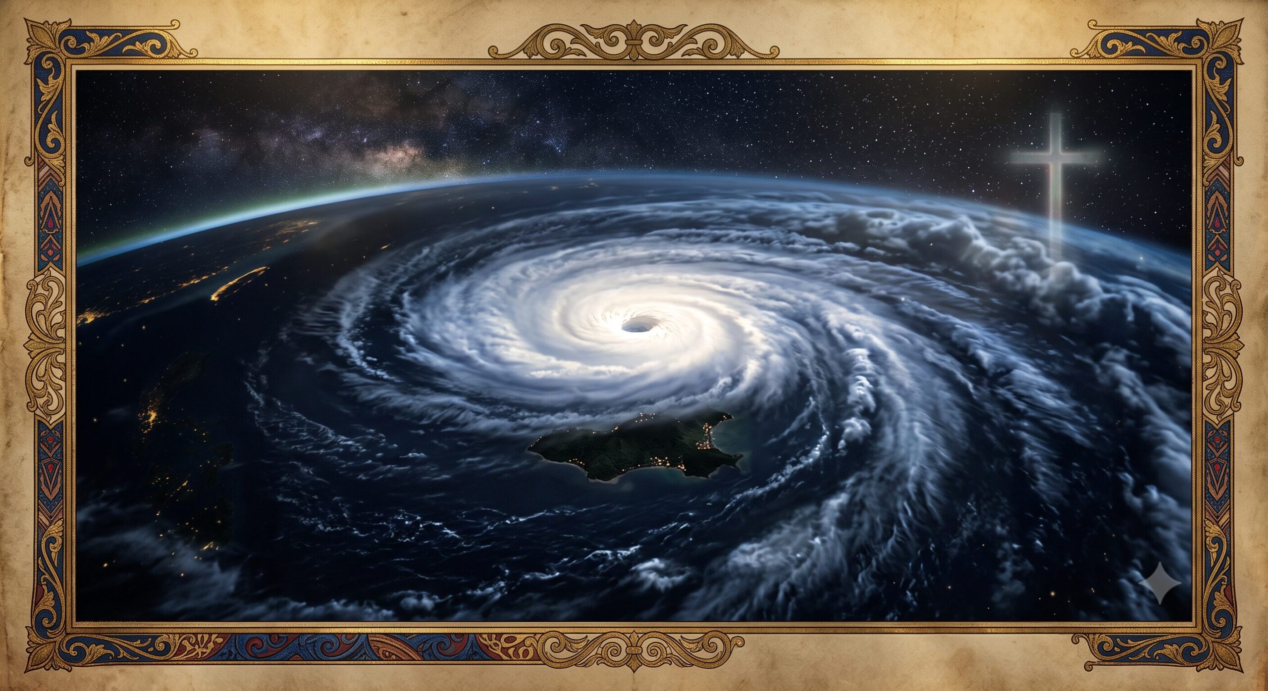
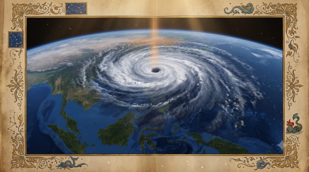
Super Typhoon Bavi and the El Niño Convergence spiraling over the Pacific
Zoom out from Bavi for a moment and look at the wider Pacific. NOAA Fisheries reported in March that West Coast waters have carried a large marine heatwave since the previous summer, raising ocean temperatures three to four degrees Fahrenheit above normal and marking, in NOAA’s own words, only the third time on record such a large stretch of ocean stayed that warm for that long outside of an El Niño year. Then El Niño itself arrived on top of it.

I’m not going to hand you a specific figure for the total square kilometers of warm water across the entire Pacific basin right now, because I couldn’t verify one precise number against a primary source I trust enough to put in front of you. What I can verify, and what matters more anyway, is this: two independent warming patterns — a multi-year marine heatwave and a strengthening El Niño — are stacked on top of each other in the same ocean, in the same season that produced Bavi.
Paul wrote that “the whole creation groaneth and travaileth in pain together until now” (Romans 8:22, KJV). That’s not a scientific paper. It’s a description of a world that isn’t operating the way it was made to. Warm water feeding monster storms fits that description whether or not any single storm proves a prophetic timeline. The Groaning Earth [LINK TO: The Groaning Earth] category on this site exists precisely so we don’t have to overstate any one event to make that point.
The Philippines paid the human cost first
Before Bavi ever reached Rota’s headlines, its outer bands were already dumping rain across the Philippines, where it carried the local name Inday. The Office of Civil Defense reported the combined toll of the storm and an enhanced southwest monsoon at 18 to 20 deaths, with a dozen or more people still missing and over 560,000 individuals affected across Luzon, Visayas, and Mindanao, according to The Manila Times. The hardest-hit town, Malapatan in Sarangani province, lost ten people to a single landslide.
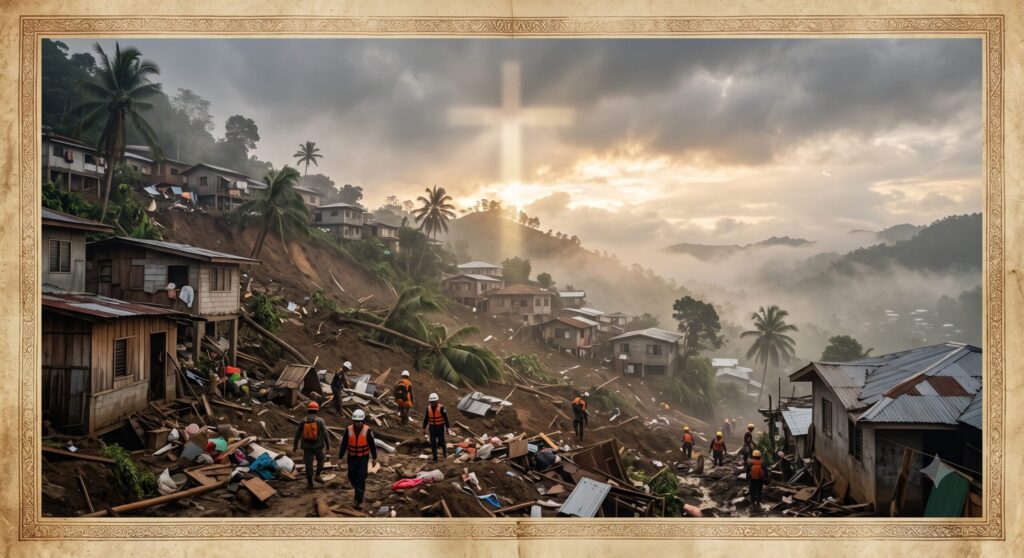
Numbers like that deserve a pause before they become a talking point. Ten people in one town, buried by a hillside that gave way in the dark. That is grief, not an illustration.
Jesus described the last days as including “distress of nations, with perplexity; the sea and the waves roaring” (Luke 21:25, KJV). I don’t read that verse as a prediction naming Bavi specifically — that would be date-setting dressed up as discernment, and I won’t do that. I read it as a description of the kind of world we are now watching in real time, with satellites overhead and phones in every pocket, in a way no earlier generation of readers of that verse ever could.
Nation shall rise against nation, Jesus also said, “and there shall be famines, and pestilences, and earthquakes, in divers places. All these are the beginning of sorrows” (Matthew 24:7-8, KJV). Birth pangs get closer together as the process moves forward. That’s the image. It isn’t a countdown clock we get to read. It’s a pattern we’re invited to notice.
Holding the timeline and the humility together
I hold a pre-tribulation, pre-millennial reading of end-times prophecy, and I believe events like Bavi’s convergence with a strengthening El Niño and a rapid, tech-driven mass evacuation fit the pattern Scripture describes for the last days before the Rapture of the Church. That’s the case I make on this site, and I make it with conviction.
I also want to be straight with you about something: no man knows the day. The combination of “watch for the signs” and “you cannot calculate the date” means the timing claim itself isn’t something I can prove to you on a calendar, and I’m not going to pretend otherwise. What I can show you is whether I’m honest about the data — the actual wind speeds, the actual evacuation figures, the actual ocean temperatures — and let that honesty be the thing you weigh.
Other faithful, serious students of Scripture read the same passages differently and land in different places on the timeline question. Study it for yourself rather than take my word for it. “Study to shew thyself approved unto God” (2 Timothy 2:15, KJV).
Where this actually leads
A typhoon this size, striking this hard, forcing this many people to move this fast, is a hard thing to watch and not feel small in front of. I feel that too. But I don’t feel afraid, and that’s not bravado — it’s because I know who holds the wind and the waves, even the roaring ones.
If the storms of this world remind you that you are not in control of very much, that’s actually a fair place to start. The gospel isn’t a weather forecast, and it isn’t a survival plan for the next disaster. It’s the announcement that Jesus Christ died for sinners, was buried, and rose again, and that anyone who trusts Him is safe regardless of what the ocean does next.
If you haven’t settled that question yet, don’t wait for the next storm to make up your mind. Read what Scripture actually says about it here: https://samuelclark.com/salvation/.
And if this kind of careful, unhurried watching is useful to you, stick around for the next one.
Subscribe to Converging Times
Stay alert. Keep watch. Receive prophetic updates and world event analysis delivered directly to your inbox.